
UN Approves New World Map Highlighting Africa’s True Size, US Votes Against
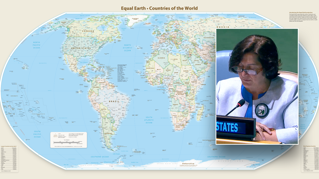
On Friday, the United Nations was just one vote away from a unanimous decision to adopt a new world map that accurately reflects the size of Africa, making it appear significantly larger than traditional maps. The United States stood out as the only nation among the 165 member countries to oppose the resolution aimed at accepting the Equal Earth map projection, which showcases countries in their true relative sizes.
Six countries chose to abstain from the vote, including Estonia, Georgia, Lithuania, Moldova, Serbia, and Ukraine.
Yaryna Ferencevych, the U.S. deputy representative to the UN Economic and Social Council, expressed her concerns during the plenary meeting, stating that the resolution was presented as a simple update to map proportions. However, she viewed it as part of a larger ideological agenda.
Ferencevych criticized the focus on map projections, referencing the Mercator projection, which was created in 1569 primarily for maritime navigation. This traditional map has been the standard in many schools and books and significantly distorts the sizes of landmasses, making regions close to the poles appear larger than those near the equator, which diminishes Africa’s actual size in comparison to places like Greenland and Europe.
While speaking at the UN, Ferencevych remarked, “Instead of addressing pressing global issues, we are debating maps from centuries ago and their implications for justice. Resolutions like this add unnecessary complications to our work and hurt the credibility of this institution.”
The Mercator projection has largely been set aside for more accurate representations in recent years, but its use in platforms like Google Maps has led to its revival in digital mapping.
Togo’s Foreign Minister Robert Dussey, who supported the resolution on behalf of the African nations, argued that adopting the new map would “promote better representations that respect the true proportions of continents.” He emphasized that a fair map changes the perspective from which we view the world, fostering greater understanding and respect among nations.
The resolution did not require other countries or companies to stop using the Mercator projection but aimed to establish equal-area maps as the UN’s preferred way to present the world.
While the fight for accurate mapping continues, this vote marked a significant step toward a more correct representation of global geography. The U.S. Mission to the UN and the ECOSOC did not provide immediate comments on the matter.
