
Government Emphasizes Accurate Representation of India’s Territory in UN Maps
NEW DELHI: Following its support for a United Nations General Assembly resolution advocating for an equal-area world map, the Indian government reiterated on Sunday that any new map must accurately represent India’s territory, particularly the Union territories of Jammu & Kashmir and Ladakh. The government made it clear that any inaccuracies would not be tolerated.
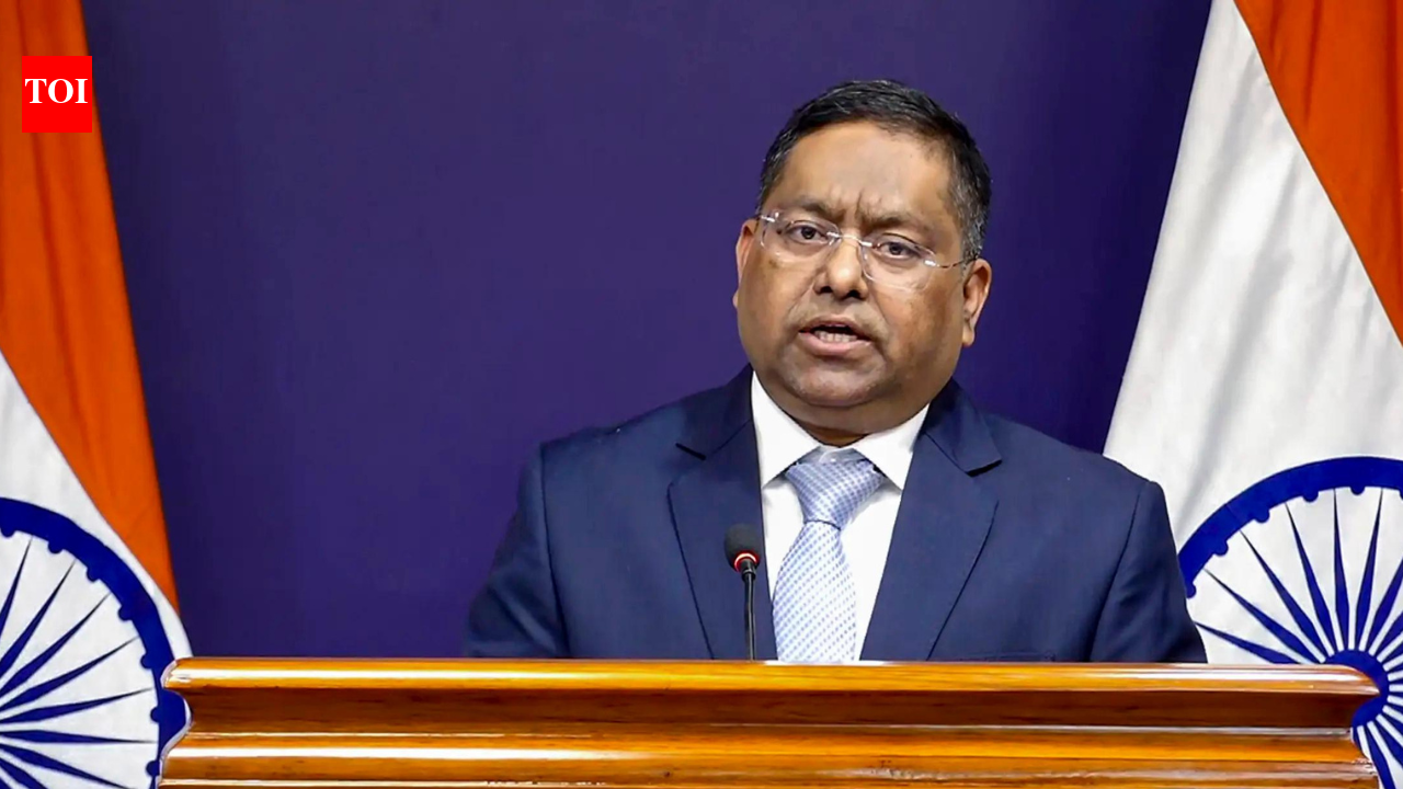
“Our stance on India’s sovereignty and territorial integrity is firm and unwavering,” stated Randhir Jaiswal, spokesperson for the Ministry of External Affairs (MEA), in response to questions from the media.
Resolution Explains Mapping Intentions
India was one of 164 nations that voted in favor of the UN General Assembly resolution on September 4, titled “Correct the Map: Rebalancing Global Cartographic Representation and Promoting Equitable Representation of the World’s Regions, Particularly Africa.” The MEA clarified that the goal of the resolution is to promote equal-area map projections, which maintain the relative sizes of landmasses. Notably, the resolution does not endorse any specific map or address political aspects like international borders or disputed territories.
“While India supported this resolution, we also clarified that it does not endorse any particular map or define national boundaries,” Jaiswal explained.
The resolution saw some countries abstaining, including Estonia, Georgia, Lithuania, Moldova, Serbia, and Ukraine, with the United States voting against it.
The resolution also pointed out that the commonly used Mercator projection distorts landmasses, especially those far from the equator, leading to misconceptions about the sizes of continents like Africa, Latin America, and South Asia. The Indian government expressed appreciation for efforts to adopt more accurate and inclusive mapping practices.
